

Manuel Keilman
Immersive Redesign
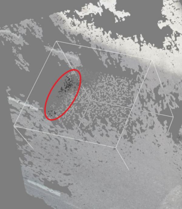
[ Bachelor thesis] [Image]
Information
- Publication Type: Bachelor Thesis
- Workgroup(s)/Project(s):
- Date: July 2022
- Date (Start): 10. October 2021
- Date (End): 1. July 2022
- Matrikelnummer: 11824531
- First Supervisor:

Abstract
In this thesis, my colleague Ahmed El Agrod and I implemented software that allows point clouds to be edited. By moving, deleting, saving, and inserting selected objects, the point cloud should be able to be modified. This bachelor thesis mainly describes how newly added objects are automatically placed on the ground being recognized by an algorithm. Furthermore, it is described how an image inpainting algorithm was implemented to fill incomplete flat regions of point clouds with new points and associated matching colors. The ground detection was performed using the RANSAC algorithm, which computes a plane representing the ground for the scene. For the image inpainting algorithm, three-dimensional point cloud points had to be mapped to a 2D image, then use an image inpainting algorithm to fill in the missing pixels, and finally, map the 2D pixels of the inpainted image back to 3D points in the scene. An evaluation was also conducted to test both the automatic ground detection and the image inpainting algorithm regarding runtime and visual quality.Additional Files and Images

Weblinks
No further information available.BibTeX
@bachelorsthesis{Keilman2022,
  title =      "Immersive Redesign",
  author =     "Manuel Keilman",
  year =       "2022",
  abstract =   "In this thesis, my colleague Ahmed El Agrod and I
               implemented software that allows point clouds to be edited.
               By moving, deleting, saving, and inserting selected objects,
               the point cloud should be able to be modified. This bachelor
               thesis mainly describes how newly added objects are
               automatically placed on the ground being recognized by an
               algorithm. Furthermore, it is described how an image
               inpainting algorithm was implemented to fill incomplete flat
               regions of point clouds with new points and associated
               matching colors. The ground detection was performed using
               the RANSAC algorithm, which computes a plane representing
               the ground for the scene. For the image inpainting
               algorithm, three-dimensional point cloud points had to be
               mapped to a 2D image, then use an image inpainting algorithm
               to fill in the missing pixels, and finally, map the 2D
               pixels of the inpainted image back to 3D points in the
               scene. An evaluation was also conducted to test both the
               automatic ground detection and the image inpainting
               algorithm regarding runtime and visual quality.",
  month =      jul,
  address =    "Favoritenstrasse 9-11/E193-02, A-1040 Vienna, Austria",
  school =     "Research Unit of Computer Graphics, Institute of Visual
               Computing and Human-Centered Technology, Faculty of
               Informatics, TU Wien ",
  URL =        "https://www.cg.tuwien.ac.at/research/publications/2022/Keilman2022/",
}