

Jakob Günther Maier
3D Visualization of GPX Tracks in AlpineMaps
[ thesis]
Information
- Publication Type: Bachelor Thesis
- Workgroup(s)/Project(s): not specified
- Date: May 2024
- Date (Start): October 2023
- Date (End): May 2024
- Matrikelnummer: 11809618
- First Supervisor:

Abstract
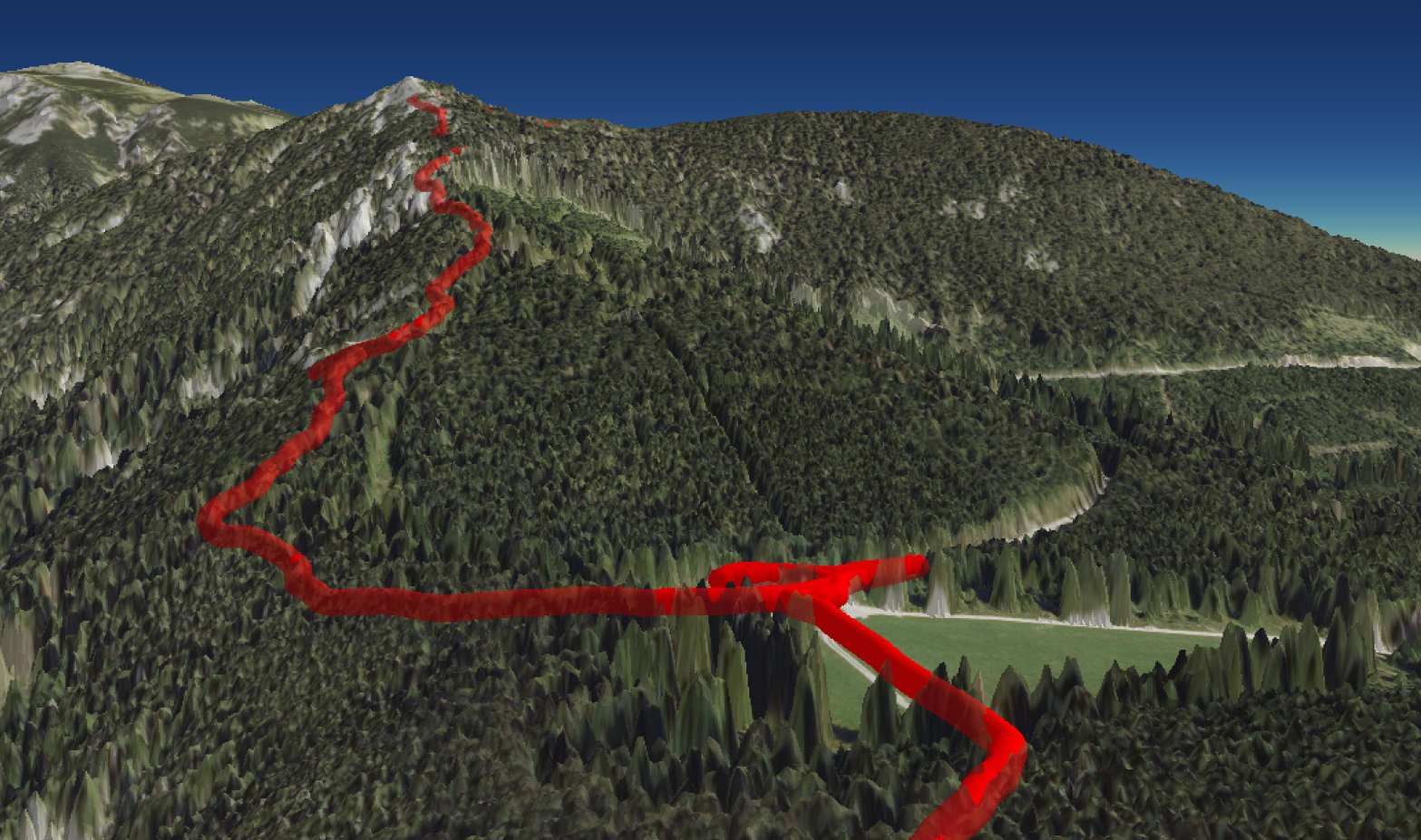
vital task for various fields such as outdoor recreation, research or education. Many users, from hobbyist athletes to researchers, need high-quality, high-performance solutions for visualizing both spatial data as a well as contextual data derived from the temporal axis provided by many capturing devices. The GPS Exchange Format (GPX) has become the standard way of storing GPS track data, providing a convenient way to share tracks, routes and waypoints between various devices and applications. This thesis explores the implementation of a state-of-the-art GPU-based ray tracing method for rendering three-dimensional (3D) GPX tracks on interactive 3D terrain. By generating tight-fitting bounding geometry and then ray tracing rounded capsules in the fragment shader stage, we implement a rendering method that is scalable to real-world requirements and provides insights into geospatial data. Our solution is integrated into the open-source, multi-platform renderer AlpineMaps. This thesis especially focuses on fully 3D tracks that can also be high above the surface level. Such tracks, which can be generated by anything from drones to sailplanes and paragliders, are often neglected by traditional GPS track rendering methods, which focus mostly on surface level tracks. As the Digital Elevation Model used by AlpineMaps includes vegetation and buildings, some tracks may be occluded below terrain. This case is handled and visualized with partial transparency of the terrain. The results of this study show that GPU ray tracing capsule primitives is an effective way of creating high-quality visualization of 3D line data on 3D terrain, offering a valuable tool for analysis.Additional Files and Images

Weblinks
No further information available.BibTeX
@bachelorsthesis{maier-2024-3vo,
  title =      "3D Visualization of GPX Tracks in AlpineMaps",
  author =     "Jakob G\"{u}nther  Maier",
  year =       "2024",
  abstract =   "vital task for various fields such as outdoor recreation,
               research or education. Many users, from hobbyist athletes to
               researchers, need high-quality, high-performance solutions
               for visualizing both spatial data as a well as contextual
               data derived from the temporal axis provided by many
               capturing devices. The GPS Exchange Format (GPX) has become
               the standard way of storing GPS track data, providing a
               convenient way to share tracks, routes and waypoints between
               various devices and applications. This thesis explores the
               implementation of a state-of-the-art GPU-based ray tracing
               method for rendering three-dimensional (3D) GPX tracks on
               interactive 3D terrain. By generating tight-fitting bounding
               geometry and then ray tracing rounded capsules in the
               fragment shader stage, we implement a rendering method that
               is scalable to real-world requirements and provides insights
               into geospatial data. Our solution is integrated into the
               open-source, multi-platform renderer AlpineMaps. This thesis
               especially focuses on fully 3D tracks that can also be high
               above the surface level. Such tracks, which can be generated
               by anything from drones to sailplanes and paragliders, are
               often neglected by traditional GPS track rendering methods,
               which focus mostly on surface level tracks. As the Digital
               Elevation Model used by AlpineMaps includes vegetation and
               buildings, some tracks may be occluded below terrain. This
               case is handled and visualized with partial transparency of
               the terrain. The results of this study show that GPU ray
               tracing capsule primitives is an effective way of creating
               high-quality visualization of 3D line data on 3D terrain,
               offering a valuable tool for analysis.",
  month =      may,
  address =    "Favoritenstrasse 9-11/E193-02, A-1040 Vienna, Austria",
  school =     "Research Unit of Computer Graphics, Institute of Visual
               Computing and Human-Centered Technology, Faculty of
               Informatics, TU Wien ",
  URL =        "https://www.cg.tuwien.ac.at/research/publications/2024/maier-2024-3vo/",
}