Image

overview : Real-time visualization result of our method for decision support in flood management. Overview perspective with geospatial data of Austria. Three nested terrain heightfields defined on an area of 572 km × 293 km are combined with a dynamic water heightfield in a focus region of 22 km × 15 km .

Publication

This image has been taken from the following publication:
2022
Real-time visualization result of our method for decision support in flood management. Close-up of flood simulation results at 1 m resolution. 
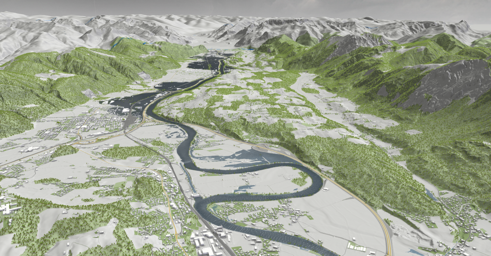
Daniel Cornel, Silvana Zechmeister, Eduard GröllerORCID iD, Jürgen Waser
Watertight Incremental Heightfield Tessellation
IEEE Transactions on Visualization and Computer Graphics, PP, May 2022. [paper]
Journal Paper (without talk)