

Click on images to see full size.
project duration: 1997
This page describes a project on the visualization of virtual tunnels by using data of existing geologic rock formations. A paper (Adobe Acrobat, 569KB) (zipped MS Word, 933KB) is available on the subject.
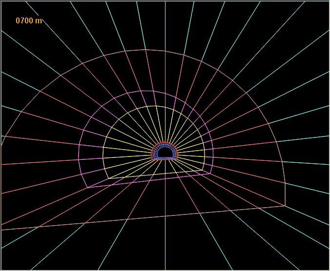
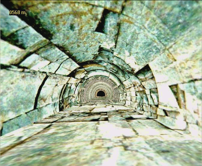
The tunnel is built from geologic data. This data is coming from vertical sample drills from the mountain top along the choosen tunnel axis. The wire frame model of the tunnel is edited by a geologist and image information of the rock appearance is textured onto the tunnel wall. This results in a photorealistic representation of the geologic rock formations which have to be expected when actually building the tunnel. The specification of a camera animation and video options allow to render a video sequence of a movement along the tunnel axis.
Click on images to see full size.
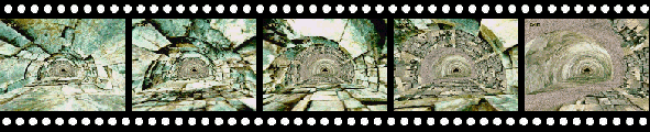
This sequence shows a small sample of an animation through a typical tunnel (QuickTime file, 444 KB) (MPEG file, 675 KB) .
Institute of Computer Graphics
-
Visualization and Animation Group
-
Research
-
Research in Visualization