

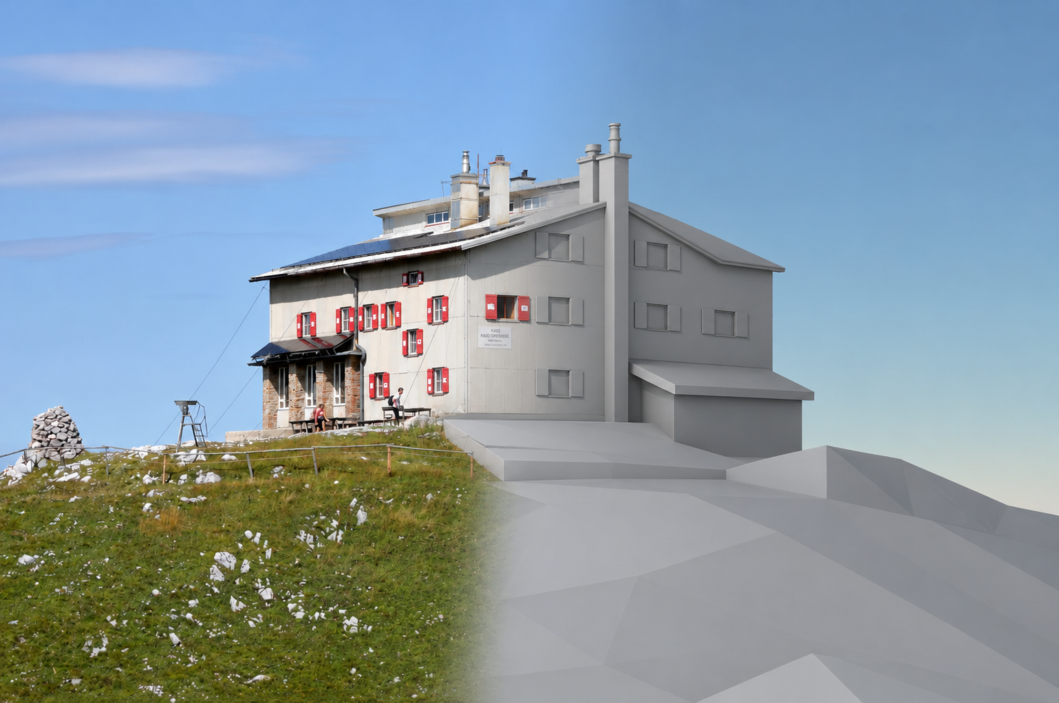
Description
While 3D reconstructions of buildings are common in urban areas, remote areas, such as mountainous terrain, often lack sufficient data for such reconstructions. The advent of 3D generative models opens the possibility of reconstructing from sparser input data. In this project, you will use such sparse data (aerial images/heigh map/photos/textual description) to generate reconstructions. These reconstructions should then be integrated existing 2.5D maps.
Tasks
- Literature research on the state-of-the-art in 3D generation, with a focus on remote sensing and 3D maps
- Develop a pipeline for automatic asset generation
- Optimize models for real-time display
Requirements
- Strong interest in geospatial visualization and rendering
- Very good programming skills
- Experience with graphics programming (OpenGL, Vulkan, ...) is a big advantage
- Experience with generative models (especially in 3D) is advantageous
Environment
Depending on the scope of the thesis, there are different options for where the project is implemented. Ideally, the final assets will be integrated into an existing 3D map application (AlpineMaps weBIGgeo (C++/WebGPU/WebAssembly)). However, implementing a stand-alone pipeline is also an option.