Description
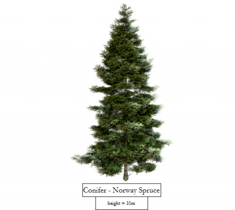
Trees have an important role in cities. Understanding and visualizing their spatial distribution and evolution over time is essential for urban planning. A 3D detailed visualization of vegetation can give a clear picture of how they are spread out and convey important information about them. However, achieving these detailed representations requires developing a method to learn the tree species before visualizing them effectively.
Tasks
This project blends machine learning and 3D visualization to track how urban trees have changed over time. Leveraging the Vienna Baumkataster (https://www.wien.gv.at/umweltgut/public/grafik.aspx?ThemePage=11), which provides detailed attributes such as species, height, latitude, longitude, and year of planting, alongside Digital Elevation Models (DEM), we aim to generate a tree species classifier. This limited data could also allow the classifier to predict a tree's height at a specific time.
We aim to use this classifier to identify tree species in historical aerial photos of Vienna and reconstruct their heights in the past. This can let us build a 3D digital map with detailed modeled trees, and create an animation showing how Vienna's trees have evolved over time.
Requirements
- Knowledge of the English language
- Good programming skills
- Familiarity with QGIS software or digital mapping tools is useful, but not required
- Interest and knowledge in visualization
- Curiosity and Creativity
Environment
The project should be implemented as a standalone application.
