

Description
Landmarks can help in navigating and recognizing the surrounding environment. In the realm of landmark detection, a lot of focus has been directed towards the field of landmark detection in urban settings. Particularly Augmented Reality (AR) applications use this information, with the user being able to easily view the points of interest and for example, learn information about them. However, in outdoor terrains, landmarks can vary widely in their nature and significance. They can include natural features, like rocks, mountains, lakes, or distinctive trees, as well as man-made structures such as statues, buildings, bridges, or monuments.
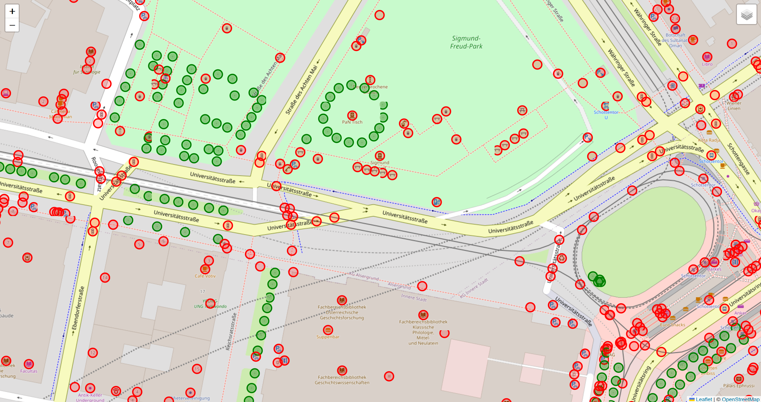
In outdoor terrains, our available input comes from heightmap information and aerial imagery. We aim to detect landmark features using this sparse data, drawing on characteristics such as the isolation of an entity (e.g., a tree or rock) from its surroundings and its unique shape.
Our objective is to develop an approach that integrates Open Street Map (OSM) data for points of interest with heightmap information and aerial imagery to automatically identify landmarks. This way, we can improve navigation in both urban and rural settings.
Tasks
The student will combine Open Street Map (OSM) data with heightmap information and aerial images to create a fully automated approach to generate landmark features in an urban and outdoor digital map setting.
Requirements
- Knowledge of English language (source code comments and final report should be in English)
- Good programming skills
- Familiarity with QGIS software or digital mapping tools is useful, but not required
- Curiosity and Creativity
Environment
The project should be implemented as a standalone application, desktop or web-based (to be discussed).